
Background
Humans see and interact with the world in three dimensions, yet the use of two-dimensional terrain mapping is commonplace. These 2D representations include contour maps and “colour-coded" maps. They do not present the full detail or information of these environments in an intuitive manner.
An existing solution to the 2D limitation is a 3D computer rendered simulation. However, their intangible nature can make them difficult to visualize in physical space. Thus, the need to create a physical 3D representation arises.
What is GeoSim?
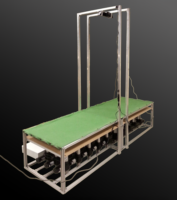
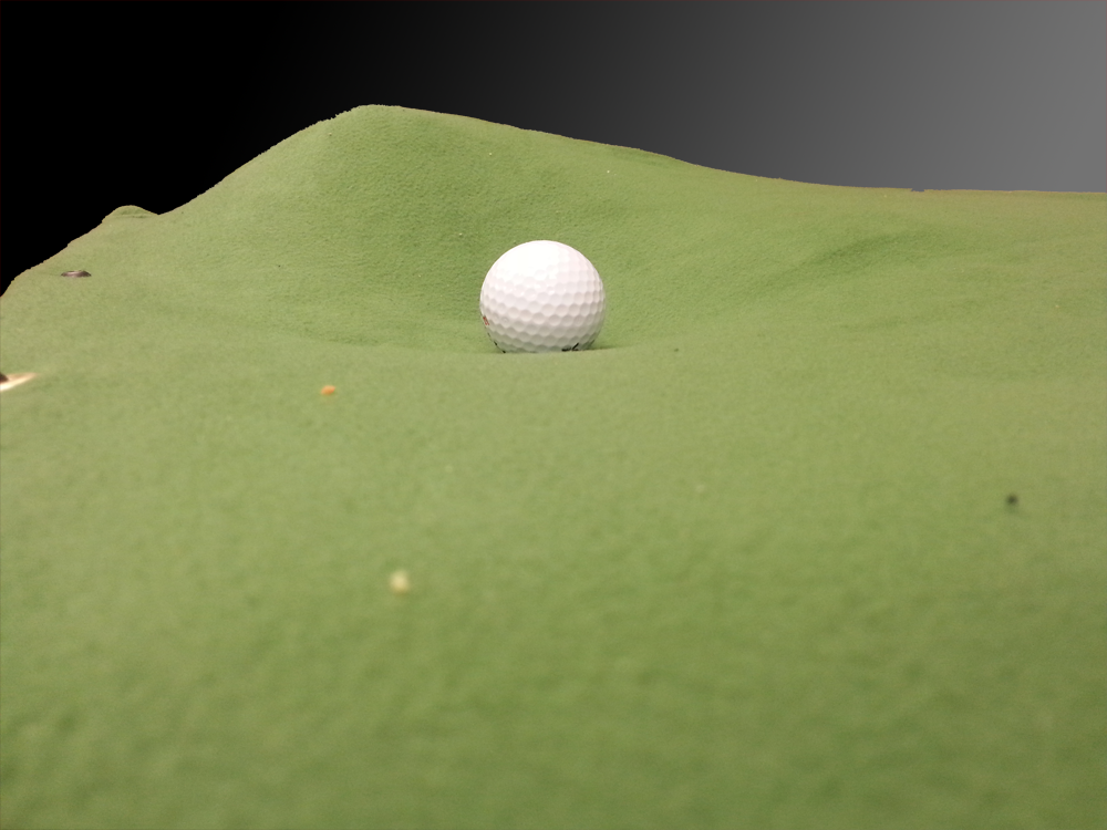
GeoSim is a physical 3D terrain simulator. The terrain is represented with a controllable and flexible surface. Users can make live modifications to the terrain height with an interactive user interface.
GeoSim Applications
There are a large variety of applications with such a device. Sample applications include dynamic 3D representations for:
- Exploration Mapping
- Military Simulations
- Disaster Response
- Urban Planning
- Robotic Vehicle Testing
To demonstrate the applicability of a terrain simulator, we have chosen our target application to be a golf putting system where users can modify the course layout as desired.